 Grünecho
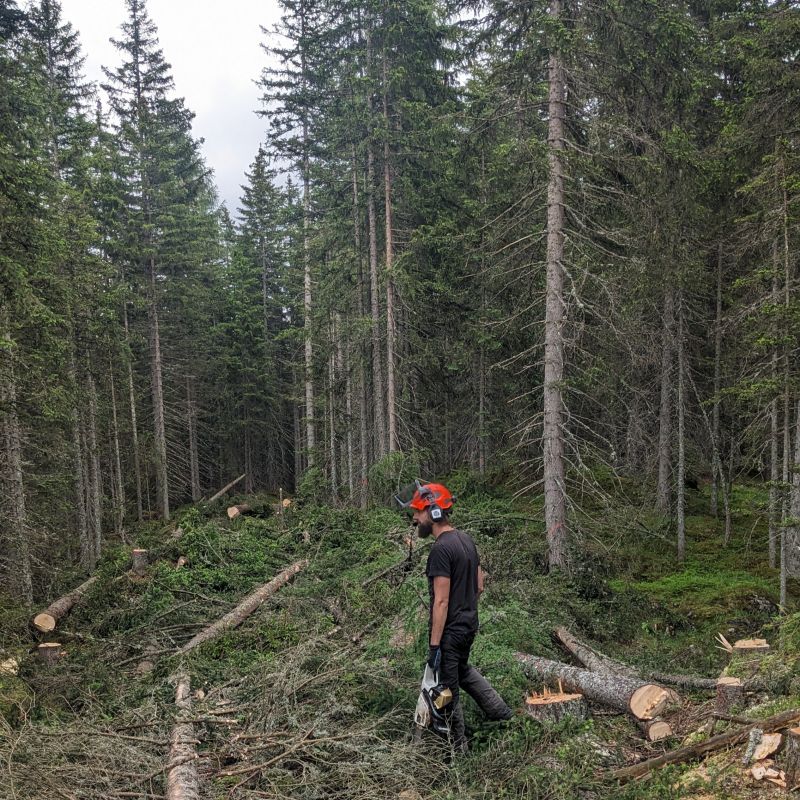
Grünecho does not build software for an industry, it builds it for a chain: data is captured in the stand, located, complemented by instruments and finally evaluated. Every link in that chain has its own rules – and most of them are not learned at a desk.
Four areas Grünecho works in:
Mobile data capture in the stand
Surveys that keep working without a network.
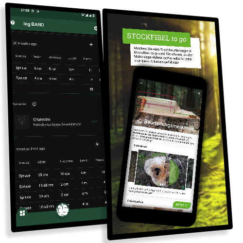
Capture in the stand is where forestry software either holds up or fails: no network, limited battery, gloves, glare, eight weeks of season in a row.
Grünecho builds mobile applications offline-first throughout – data is written locally and reconciles as soon as there is a connection again. Survey forms are generated from schemas, so a changed survey key does not require a new release.
Offline-FirstAndroidiOSWindowsFlutter / DartFormulare aus JSON-Schemata
References
Forest Condition Survey (WZE) Felsentaube Stockfibel to go logBAND BIOS Kappler Tal
Terrestrial survey & positioning
Where exactly is this tree?
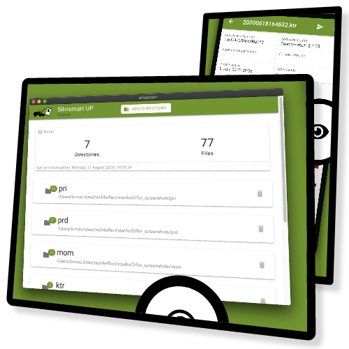
A survey is worth as much as its positioning. Grünecho integrates external GNSS receivers over Bluetooth, measures by azimuth and distance from the plot centre and computes in the reference systems the forest administration already works in (ETRS89/UTM).
Added to that are tools for evaluating terrestrial and airborne point clouds, and applications that run locally on the machine – where neither network nor server availability is guaranteed.
GNSS über BluetoothAzimut & DistanzETRS89 / UTMLiDAR & PunktwolkenQGIS-PluginsWindows, Linux, macOS
References
GNSS Navigate and Save (QGIS) FIM – Forest Inventory and Monitoring Silvismart UP
Sensors & IoT
From the instrument on the plot into the database.
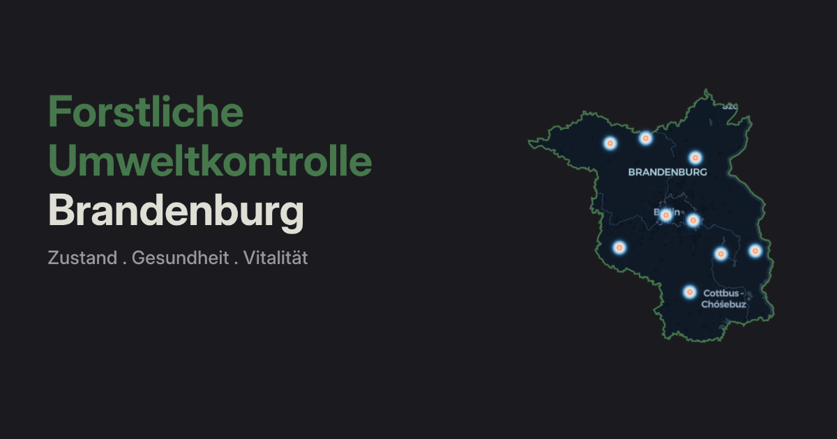
Permanent monitoring plots measure around the clock: weather, soil moisture, deposition, increment. That raw data is rarely usable straight away – it arrives in instrument formats, with gaps and with outliers.
Grünecho integrates the sensors, checks the values for plausibility automatically and moves them into a data model from which analyses and reports can be produced without manual work. When an instrument fails, it shows – and not only at the end of the season.
Sensordaten-ErfassungAutomatisierte PipelinesPlausibilitätsprüfungZeitreihenPythonMonitoring & Alarmierung
References
Monitoring platforms & analysis
So the data arrives where it is needed.
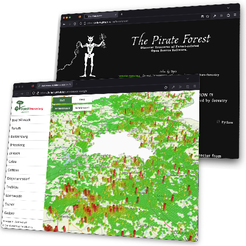
As soon as several parties work together – field crews, the specialist unit, research, the public – you need a platform rather than a file share.
Grünecho builds it along established data models (ICP Forests, forest inventory conventions): with a documented interface, role-based permissions and analyses that stay readable without domain training. Published as open source on request – so others can reuse it instead of rebuilding it.
REST-APIRollen & RechteDashboardsICP ForestsOpen DataOpen Source
References
Forest Environmental Monitoring Brandenburg Game Damage Monitoring Map Sense The Pirate Forest
Is your project somewhere along that chain?
An intro call establishes feasibility and an effort frame – no obligation, no preparation needed.